Quick answer
Shogran sits above Kiwai on the Kaghan road, in Mansehra District, KPK. On a map, find Balakot, follow the Kunhar river 34 km northeast to Kiwai, then look for the switchbacks climbing 7-9 km up to the plateau. Siri Paye is a further 8-10 km above Shogran along a rough track.
Shogran is easy to find on a map and surprisingly easy to get wrong on the ground. The confusion usually comes from the fact that the name covers a wide area, and that the crucial turn-off is a small settlement that is easy to drive straight past.
Locating Shogran on a map
Start from Balakot, which every map shows clearly. From there, the Kaghan road runs northeast along the Kunhar river. About 34 km up that road you reach Kiwai. This is the turn-off, and it is marked on most maps by the waterfall beside the road.
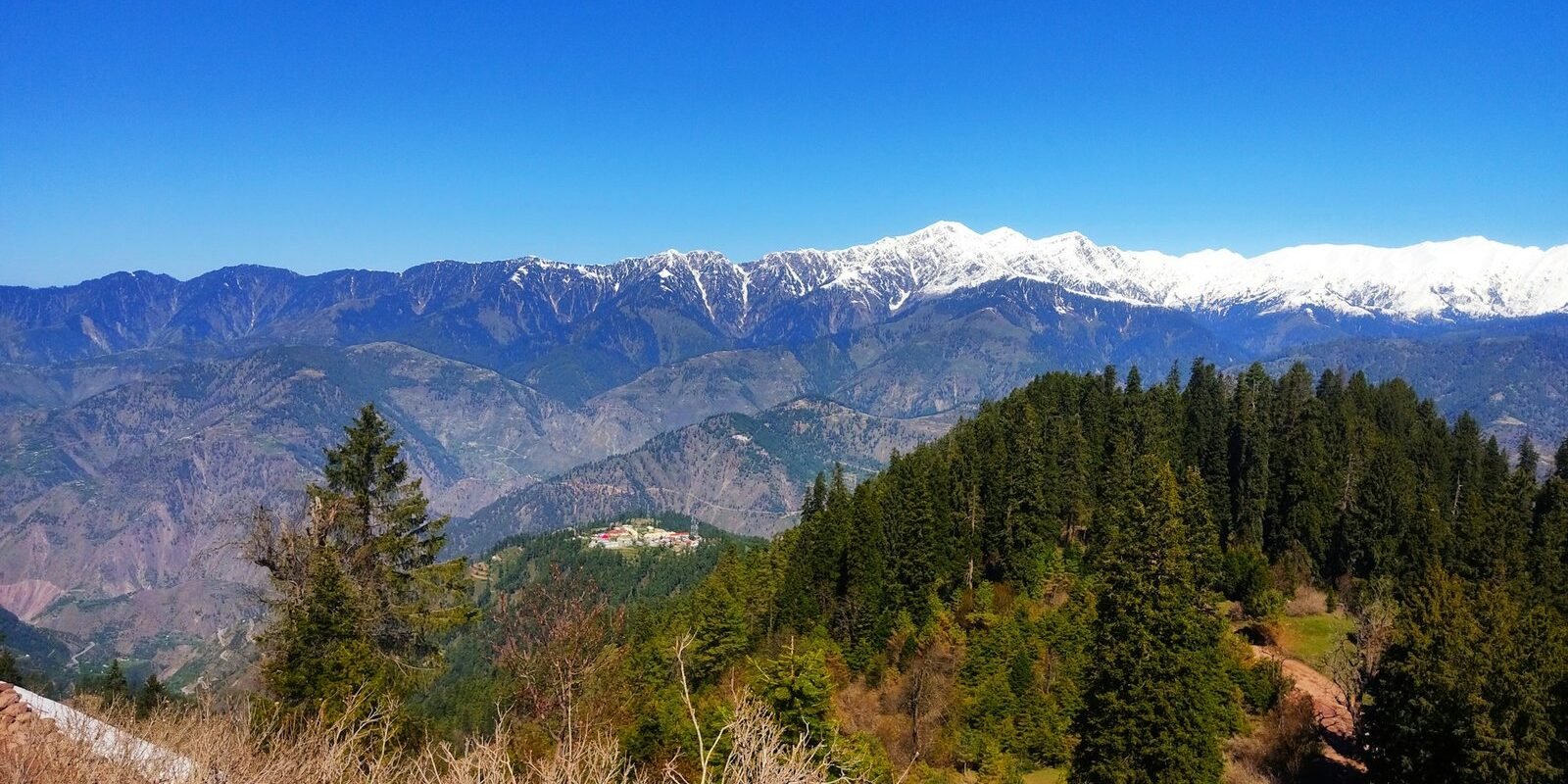
From Kiwai, look for the road that climbs sharply west and south into a series of switchbacks. That climb of roughly 7 to 9 km ends at Shogran. On a satellite view the plateau is obvious: a clearing of open ground surrounded by dense pine.
The precise coordinates and administrative detail are in where is Shogran located.
The landmarks that orient you
- Kiwai – the turn-off, the waterfall, the trout restaurants, and where local jeeps wait
- Shogran bazaar – the small commercial strip at the top of the climb
- The plateau – open meadow above and around the bazaar where most resorts sit
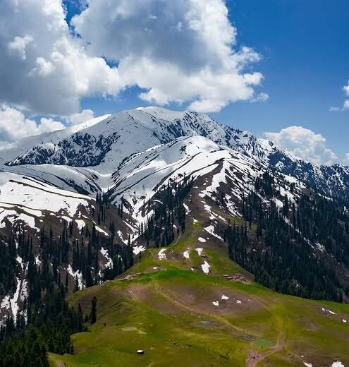
- Payee and Siri – the two high meadows, collectively called Siri Paye, above the town
- Makra Peak – the prominent summit visible from Siri Paye on clear days
Navigating when the signal dies
This is the practical part. Mobile coverage in Shogran is patchy and at Siri Paye it is often absent entirely. Relying on live navigation is a mistake.
Download offline maps before you leave Balakot. Google Maps offline areas work for the drive. For the tracks above Shogran, an offline topographic app is more useful because the jeep tracks are often not mapped as roads at all.
Do not trust routing apps on the last climb. They sometimes suggest tracks that are not passable in a normal car, or that are seasonal. On this stretch, follow the road that is obviously in use and ask locally if unsure.
Tell someone your plan. If you are heading up to Siri Paye independently, let your hotel know when you expect to be back. That is normal practice here, not paranoia.
Distances at a glance
- Islamabad to Shogran: about 250 km – full route
- Balakot to Shogran: about 43 km
- Kiwai to Shogran: 7-9 km of steep climb
- Shogran to Siri Paye: 8-10 km – details
- Shogran to Naran: about 60 km – details
- Shogran to Babusar Top: about 130 km – details
For distances from cities other than Islamabad, see Shogran distance from major cities.
A note on names
You will see Shogran spelled Shugran and Shogran, Kiwai spelled Kawai and Kewai, and Siri Paye written as Siri Payee, Sri Paya and various other combinations. These are all the same places. If a map or a driver uses a spelling you do not recognise, it is almost certainly not a different location.
Planning a route and want it sanity-checked against current road conditions? Message us before you finalise it. Conditions on the Kaghan road change more than maps suggest.
Key facts at a glance
| District | Mansehra, Khyber Pakhtunkhwa |
|---|---|
| Nearest town | Balakot, about 34 km |
| Turn-off point | Kiwai on the Kaghan road |
| Altitude | 7,749 ft / 2,362 m |
| Siri Paye | 8-10 km above Shogran |
| Mobile signal | Patchy above the bazaar, unreliable at Siri Paye |
Frequently asked questions
Where is Shogran on the map of Pakistan?
Shogran is in northern Pakistan, in the Kaghan Valley of Mansehra District, Khyber Pakhtunkhwa. Find Balakot, follow the Kaghan road northeast about 34 km to Kiwai, then look for the switchback road climbing 7-9 km up to the plateau.
Does Google Maps work in Shogran?
Partially. Coverage is patchy in the town and often absent at Siri Paye. Download offline maps before you leave Balakot, and do not rely on live routing for the final climb, which apps sometimes get wrong.
How far is Shogran from Balakot?
About 43 km in total: roughly 34 km along the Kaghan road to Kiwai, then a steep 7-9 km climb up to Shogran. Allow around one and a half to two hours.
Is there mobile signal in Shogran?
There is usually some coverage around the bazaar, though it varies by network and weather. At Siri Paye you should assume you will have none and plan accordingly.