Quick answer
Shogran is located in the Kaghan Valley, Mansehra District, Khyber Pakhtunkhwa, northern Pakistan, at an altitude of 7,749 feet (2,362 m). It sits above the settlement of Kiwai on the Kaghan road, roughly 43 km from Balakot and about 250 km from Islamabad.
The short answer is in the box above. The rest of this page is for people who want to understand how Shogran fits into the region, because that context is what actually makes trip planning work.
The administrative answer
Shogran is a hill station in Mansehra District, part of Khyber Pakhtunkhwa province in northern Pakistan. It lies within the Kaghan Valley, the long river valley that follows the Kunhar river north from Balakot up towards Babusar Top.
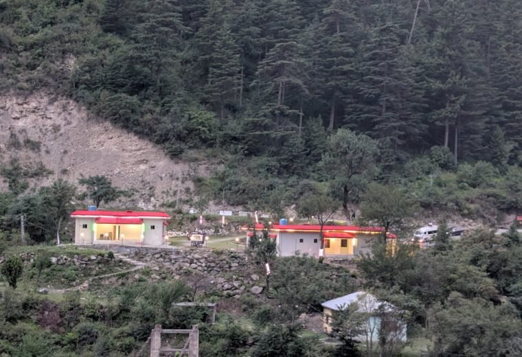
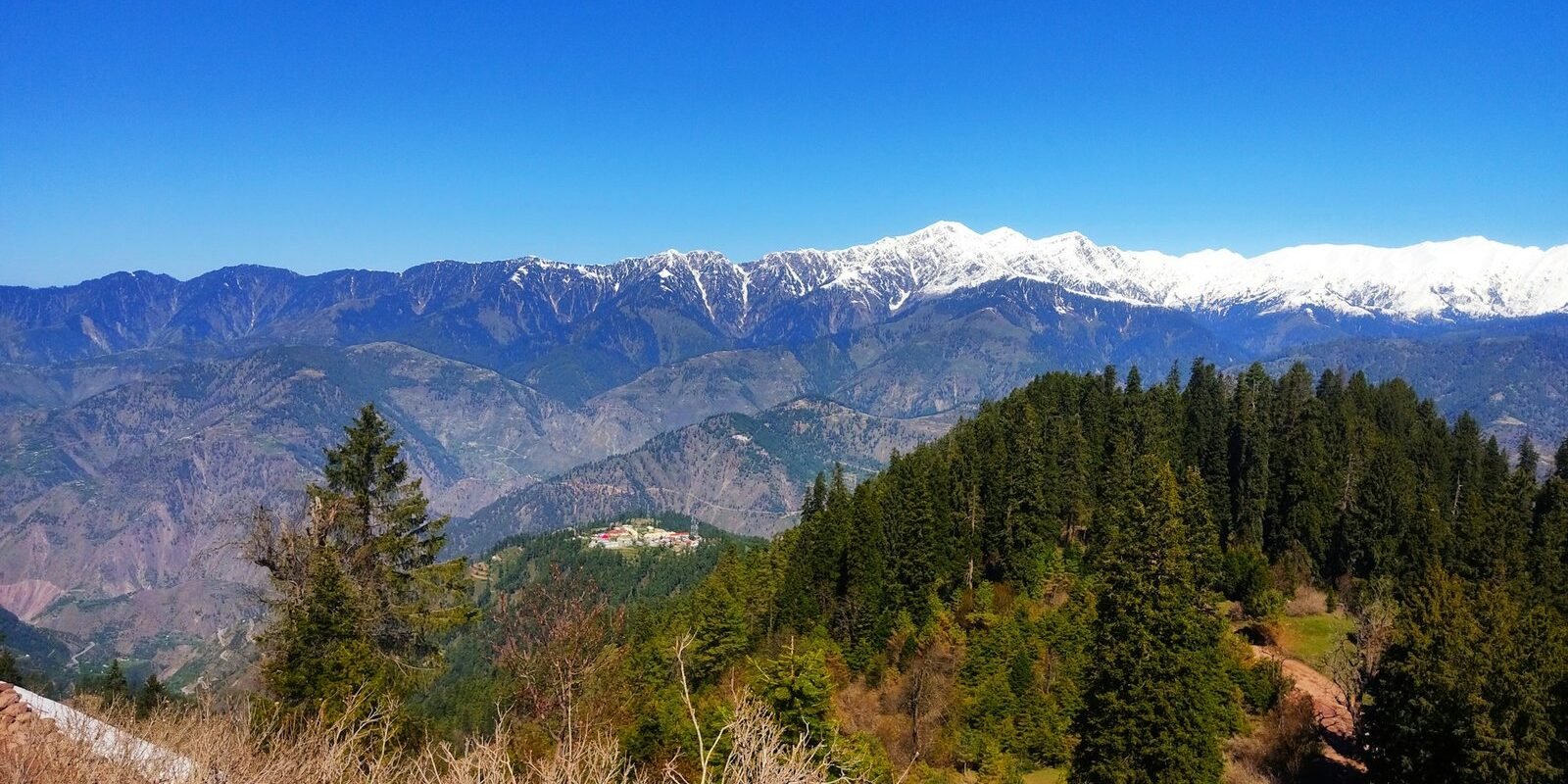
Within the valley, Shogran is not on the main road. It sits on a plateau above it, reached by turning off at Kiwai and climbing 7 to 9 km. That elevation above the valley floor is why it has meadows and views rather than just river and gorge.
The altitude
Shogran sits at 7,749 feet (2,362 metres) above sea level. For comparison, Islamabad is around 1,700 ft and Murree around 7,500 ft. So Shogran is at roughly Murree’s altitude but considerably further north and deeper into the mountains.
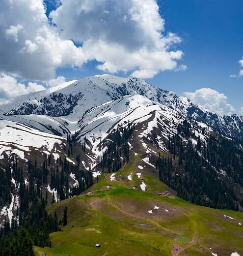
The meadows at Siri Paye above the town are higher again, at roughly 9,500 ft. That thousand-plus feet of difference is why it is noticeably colder and windier up there.
How it relates to everywhere else
Below and behind it
Balakot is the last substantial town, about 43 km away. Mansehra is about 85 km. Abbottabad about 110 km. Islamabad about 250 km. This is the direction everyone arrives from.
Above and beyond it
Continuing up the Kaghan road past Kiwai takes you to Kaghan town, then Naran at about 60 km from Shogran, then Lake Saif-ul-Malook, then eventually Babusar Top at around 130 km. Shogran is therefore the first significant stop on a valley that goes considerably further.
Sideways
Sharan Forest is a separate detour from Paras, lower down the valley. Manna Meadows and other high pastures sit on the shoulders around Shogran. Makra Peak is the prominent summit visible from Siri Paye.
Common confusions
Shogran is not in Murree. They are different regions entirely, about 180 to 200 km apart. See Murree to Shogran.
Shogran is not the same as Siri Paye. Shogran is the town and plateau where the hotels are. Siri Paye is the high meadow above it, reachable only by jeep or on foot.
Shogran is not in Gilgit-Baltistan. It is in Khyber Pakhtunkhwa. The GB boundary is much further north, past Babusar Top.
Shogran is not in Azad Kashmir. The Kaghan Valley is in KPK, though it runs roughly parallel to parts of AJK.
Finding it in practice
On the ground, the thing you are looking for is the Kiwai turn-off, marked by the waterfall and the trout restaurants beside the road. Miss it and you will find yourself continuing towards Kaghan and Naran. Detail on landmarks and offline navigation is in Shogran on the map.
For the drive itself, see Islamabad to Shogran or distances from major cities. For the overall picture of what to do once you arrive, start with the complete Shogran Valley guide.
Key facts at a glance
| Country | Pakistan |
|---|---|
| Province | Khyber Pakhtunkhwa |
| District | Mansehra |
| Valley | Kaghan Valley |
| Altitude | 7,749 ft / 2,362 m |
| Nearest town | Balakot, about 43 km |
Frequently asked questions
Which district is Shogran in?
Shogran is in Mansehra District, Khyber Pakhtunkhwa, within the Kaghan Valley in northern Pakistan.
What is the altitude of Shogran?
Shogran sits at 7,749 feet, or 2,362 metres, above sea level. The meadows at Siri Paye above the town are higher, at roughly 9,500 feet.
Is Shogran in Kashmir?
No. Shogran is in Khyber Pakhtunkhwa province, in the Kaghan Valley of Mansehra District. It is not in Azad Kashmir, though the Kaghan Valley runs broadly parallel to parts of it.
How far is Shogran from Balakot?
About 43 km in total, made up of roughly 34 km along the Kaghan road to Kiwai and then a 7-9 km climb up to the plateau. Allow one and a half to two hours.